
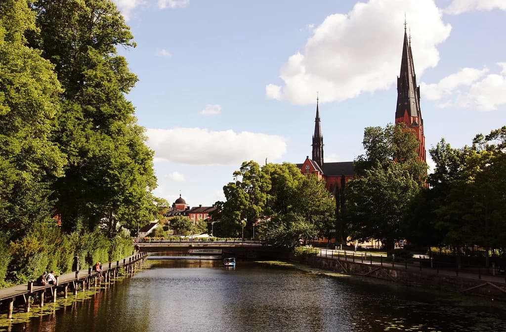
Fyrisån, Uppsala: The River Walk Through the City
Fyrisån is Uppsala's own river, and the most rewarding way to spend time with it is a walk south from the city centre along its western bank, following the water into the Årike Fyris nature reserve. Allow two to three hours for the sampler route as far as the bird tower at Övre föret, or a full day if you intend to cover the whole reserve. This guide sets out where the river runs, how the west and east banks differ, where the footbridges are and how to reach the path by bus or bike.
The key practical point is that the two banks do not form a simple loop. Walkers and cyclists can cross at Vindbron in the middle section, but car crossings of the river within the reserve sit only at the far north and far south ends, so plan a there-and-back route or use Vindbron deliberately.
What Fyrisån is and where it runs through Uppsala
Fyrisån is the waterway that threads through Uppsala, and the stretch that matters most to a visitor is the southern reach, where the river opens out and the city gives way to wetland and meadow. The Årike Fyris nature reserve follows the river from Kungsängsleden in the north down to Flottsund in the south, and it lies on both the eastern and western sides of the water. For a wider set of city sights to pair with a river walk, see Uppsala Attractions: 13 Visitor Guides.
Nearer the centre, the river is a more urban affair, and the natural starting point is Stadsträdgården, the city park on the western bank. From there the water runs south past Ulleråker and out towards the open country of the reserve.
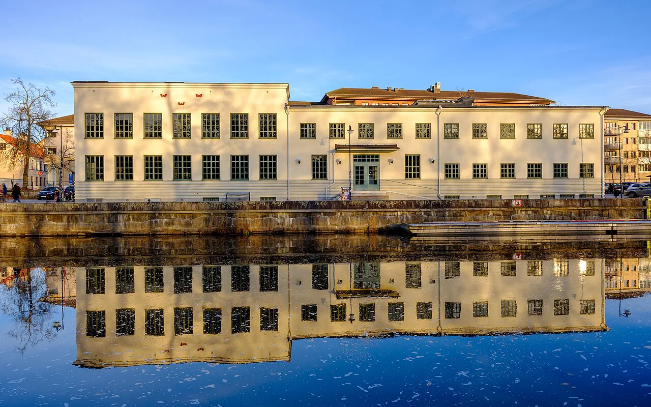

Where the river sits in the city: from Stadsträdgården south to Flottsund
Think of the Fyrisån walk as a line running south from the city park rather than as a circuit around a district. Stadsträdgården at the northern end is the natural trailhead, and Flottsund at the southern end marks the far limit of the reserve. In between, the river swells into a small lake-like stretch at Övre föret and passes the Kungsängen meadows on the eastern side.
The distance between the two ends is substantial, which is why the reserve is best treated as several shorter walks rather than one forced march. If you only have a morning, pick the northern section between the city park and the bird tower and leave the southern reaches for another day.

Walking the west bank: the riverside path from Stadsträdgården
The western bank carries the friendliest path for a casual stroll: a cycle and walking route runs from Stadsträdgården in Uppsala all the way south to Flottsund. It is largely hard-surfaced, so ordinary shoes cope well with it.
A useful measured section runs from the parking area by Lundellska school's sports hall to the parking area beside the bird tower at Övre föret, a distance of two kilometres. That stretch begins beside Fyrisån with 'Bouleråker' – boule courts and picnic tables beside the water – then moves through a park of mature lime and maple trees and apple orchards, with benches and resting places along the way. Allow about ninety minutes if you want time to stop.
The path continues past Vindbron, where there are more picnic tables, and on along the river to the bird tower. If you want company indoors afterwards, Gustavianum, Uppsala sits back in the city centre as a natural follow-on for a wet afternoon.
The bird tower at Övre föret and the wetland stretch of the river
The bird tower at Övre föret is the single best destination on the river walk, and it is worth naming as a target rather than treating the path as an end in itself. At this point Fyrisån broadens into something like a small lake where many birds rest and nest, which is why the tower was built here.
The ground floor of the tower is accessibility-adapted, so a wheelchair user can roll up and watch from shelter, and there are picnic tables both under cover in the tower and beside the path. Parking sits about 100 metres south of the tower, but no bus reaches it, so cycling or walking is the realistic approach.
Kungsängen and the Vindbron footbridge on the east side
Vindbron is the crossing that makes a partial loop possible, but it carries only walkers and cyclists, so leave the car behind if you want to switch banks. From it you can make a short detour into the Kungsängen nature reserve on the eastern side, where a sea of fritillaries blooms in the middle of May.
The eastern side also has a cycle path down to Kungsängen, and from there you can pick up the Linnéstigen Danmarksvandringen trail past the bird platform at the eastern edge of Övre föret, on through Nåntuna Lund and Djurgården to Linnés Sävja and onwards to Linnés Hammarby. If the Linnaean thread appeals, Linnaeus' Hammarby makes a logical extension of the day.
Årike Fyris nature reserve: how big it is and how much time to allow
Be honest about the scale: Årike Fyris is a large area, and exploring all of it takes at least a full day. Most visitors are better served by taking it in sections, and the two-kilometre stretch to the bird tower is the most efficient taste of what the reserve offers.
The southern end holds the Sunnerstaåsen outdoor area, where you can ski, barbecue, mountain bike or hire a canoe and paddle upstream through Årike Fyris. That is a different half-day from the northern walk, so decide which one you are doing before you set out.
The river has been the subject of local clean-up efforts, with volunteer divers from the Hands 2 Ocean association working alongside Uppsala municipality to pull rubbish out of the water in September 2026. It is a reminder that this is a working urban river rather than a remote wilderness.
Getting there: bus stops at Svandammen and Sunnerstabacken, and cycling from the centre
For the northern end of the reserve, including the city park and the start of the western path, the nearest bus stop is Svandammen. For the southern part on the western side, take the bus to Sunnerstabacken. If you are heading for Kungsängen, the closest stop is Östra Vindbrovägen, from which it is about a one-kilometre walk to the reserve itself.
Cycling is the smoothest way to reach the middle of the reserve: from Uppsala you ride either down the eastern side of Fyrisån to Kungsängen or follow the river on the western bank. Drivers can park at Vindbron on the eastern side, with access to Kungsängens gård from road 255, or use Sunnerstastugan beside Dag Hammarskjölds väg as a base for both the ridge paths and the riverside.
Accessibility along the river path
The whole route from Islandsbron to Flottsund has been tested with a wheelchair, and almost all of it is a cycle and walking path with a hard surface. The surface is hard-packed gravel with very gentle gradients, which makes it unusually manageable for a riverside route of this length.
The surface description notes some loose gravel and root sections around Nedre föret and Sunnerstaåsen, and a short, steep slope at Sunnerstabacken on the way to Flottsund. The gentler alternative runs through Sunnerstagropen, which still climbs but less sharply. Accessible toilets are available at the outdoor facility in Sunnersta.
Nearby: Stadsträdgården, Uppsalaåsen and the Linné trails
Stadsträdgården doubles as a destination in its own right, and Stadsparken, Uppsala is the calm green counterpart to the riverside path at the northern trailhead. From the park you can also follow the Linnéstigen Ultunavandringen, which runs largely along the top of the Uppsalaåsen ridge and gives occasional fine views over Årike Fyris.
If the botanical side of the walk appeals, Uppsala Botanical Garden and the Linnaeus Garden (Linnéträdgården), Uppsala both reward a separate visit in the centre, and the Museum of Evolution Uppsala (Evolutionsmuseet) is a sensible rainy-day substitute.
Practical notes on weather and when to see the fritillaries
The reserve's own page carries a weather outlook for the area, so you can check the conditions before setting out. Spring is when the fritillaries bloom in Kungsängen in mid-May, so time that walk for the flowering if it is on your list.
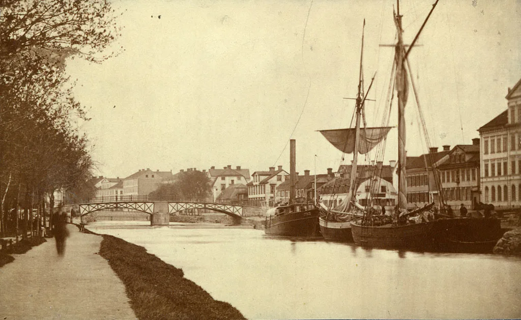
The river has shaped Uppsala for a long time, and a 1905 photograph of the view over Fyrisån survives in the Digitalt Museum collections, showing the same watercourse running through the same city. Uppsala kommun is the body responsible for managing and maintaining the Årike Fyris reserve along its banks today.
Which stretch of the Fyrisån should you walk?
Choose the two-kilometre western-bank section from the Lundellska sports hall to the Övre föret bird tower if you have half a day: it is tested for wheelchair access, ends at a sheltered viewing point and is easy to reach from Svandammen. Choose the southern Sunnerstaåsen area or the eastern Kungsängen and Linnéstigen route if you can give the river a full day, and remember that Vindbron is your only mid-route crossing on foot.
Two practical points to confirm on the day: bus connections to Sunnerstabacken and Östra Vindbrovägen, and the ground condition on the gravel sections after rain. Both are worth a quick check against the reserve page before you leave.
Explore more Uppsala guides
Frequently Asked Questions
Can you walk a full loop around Fyrisån in Uppsala?
Not on the reserve stretch. The river can only be crossed by car at the far north and far south of Årike Fyris, and Vindbron in the middle is for walkers and cyclists only. Plan a there-and-back walk or cross at Vindbron deliberately.
How long is the walk to the Övre föret bird tower?
The measured section from the parking area by Lundellska school's sports hall to the parking area at the bird tower is two kilometres, along the western bank of Fyrisån. Allow extra time for stops at the picnic tables and the viewing platform.
Is the riverside path suitable for a wheelchair?
The route from Islandsbron to Flottsund has been tested with a wheelchair and is almost entirely hard-surfaced cycle and walking path. Watch for loose gravel and roots near Nedre föret and Sunnerstaåsen, and a short steep slope at Sunnerstabacken towards Flottsund; the Sunnerstagropen route is gentler.
Which bus stop is best for Årike Fyris?
Use Svandammen for the northern end and the city park, or Sunnerstabacken for the southern part on the western side. For Kungsängen, get off at Östra Vindbrovägen and walk about a kilometre to the reserve.